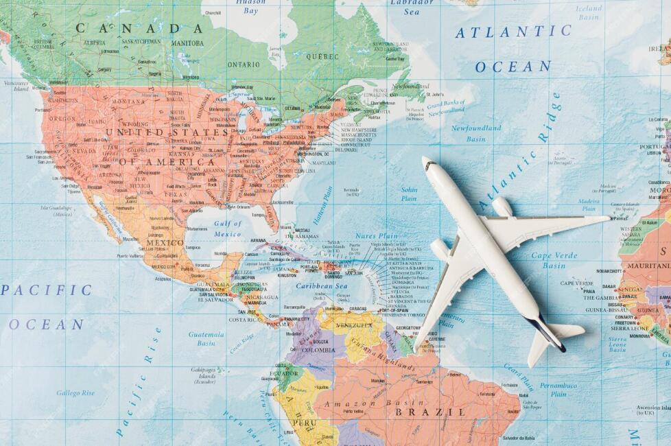
CA is the abbreviation for Central America, which begins on the Isthmus of Tehuantepec, in southern Mexico. This area of the strait divides the volcanic rocks located northwest of the fold and fault of the Central American structure. The geological limit in the extreme south is determined by the valley of the Atrato River, in Colombia, and the territory of South America, east of the border with Panama.
The Caribbean coasts and eastern mountain slopes receive twice as much annual rainfall as the Pacific coast and western mountain slopes. The relative dryness of the slopes of the Pacific coast is due to the presence of stable cold air produced by the cold California current. This current, like the Humboldt current, which runs parallel to the Peruvian coast, cools the air and prevents the absorption of water vapor, thus reducing the chances of precipitation. On the contrary, the effects of the warm water of the Caribbean Sea allow the air to absorb abundant humidity, which is then carried by the prevailing winds from the East.
The temperature in Central America, which is located between the Tropic of Cancer and the equator, varies more in relation to altitude than to latitude. Three main climatic zones are distinguished: the hot land, which extends from sea level to 910 m of altitude and has an average annual temperature of 24 ºC; the temperate land, which extends from 915 m to 1,830 m and has an average annual temperature of 18.3 to 24 ºC; and the cold land, which includes the area between 1,830 and 3,050 m, with an average annual temperature of 12.8 to 18.3 ºC.
Condensation and downpours take place when winds flow upward and fall on the high slopes of Central America. Rainfall is heaviest on the Mosquito Coast, in the extreme eastern part of Nicaragua. San Juan del Norte receives an approximate average of 6,350 mm of rain per year.
Physiographic Regions
Central America is mostly a mountainous and rugged region, with 109 volcanoes, some more than 4,000 m above sea level. The Tajumulco volcano, in Guatemala, is 4,220 m. Central America is also one of the areas of the American continent with the highest number of active volcanoes. The land surface rises steeply from the narrow coastal region of the Pacific Ocean to the ridges of the mountains, gradually descending to a vast region that stretches along the Caribbean Sea. There are two interoceanic passages that cut across the Central American highlands, one in Nicaragua (from the mouth of the San Juan River to Lake Nicaragua) and the other in Panama (the passage of the Panama Canal). The Pacific coast has a length of 2,830 km, and that of the Caribbean Sea approximately 2,740 km. There are numerous groups of small islands off the Caribbean coast, some of which are inhabited, such as the Bay Islands in the Gulf of Honduras.
History
Before the Spanish invasion in 1492
In pre-Columbian times, most of the territory of Central America was part of the Mesoamerican civilization. Native societies in the area occupied the land between central Mexico in the north to northwestern Costa Rica in the south. The pre-Columbian cultures of the entire region traded with Mesoamerica and South America creating important commercial places between these peoples.
Conquest and Spanish rule
From the 16th to the early 19th centuries, Central America formed the Captaincy General of Guatemala, sometimes known as the Kingdom of Guatemala, whose integration and internal division varied repeatedly. Officially, the Captaincy was part of the Viceroyalty of New Spain, and therefore under the control of the Spanish viceroy in Mexico City. However, it was not administered by the viceroy but by an independent Captain General, who first had his facilities in Antigua Guatemala and later in Guatemala City.
During the time of the Constitution of Cádiz (1812 – 1814 and 1820 – 1821), the kingdom of Guatemala disappeared and was replaced by two independent provinces, the province of Guatemala and the province of Nicaragua and Costa Rica. In 1821, on the eve of independence, three more provinces were created, Chiapas, El Salvador and Honduras, segregated from the province of Guatemala.
Independence
In 1821, Chiapas proclaimed its independence from Spain, a decision that was imitated on September 15 by the province of Guatemala. The date is still considered as independence day by all Central American nations. The Superior Political Chief of the province of Guatemala, Gabino Gainza, remained in charge of the government temporarily.
Also the provinces of El Salvador, Honduras and Nicaragua and Costa Rica proclaimed, on various dates, their absolute independence from Spain.
After independence, the idea of annexing to the First Mexican Empire of Agustín de Iturbide arose, a decision that was consulted with the municipalities. Received the majority votes of the municipalities, the government of Guatemala proclaimed the annexation of Central America to Mexico.
This decision was resoundingly adverse by El Salvador, and neither did it have sympathy in some populations of Honduras, Nicaragua and Costa Rica; however, a Mexican army under the command of General Vicente Filisola occupied Guatemala City and later invaded and occupied El Salvador, despite the Salvadorans proclaiming their union with the United States of America.
When Mexico became a republic the following year, it availed itself of the right to have Central America determine its own destiny. In Guatemala met the National Constituent Assembly of the United Provinces of the Center of America, the 1 of July of 1823, he declared the absolute independence of Spain, of Mexico, and any other nation foreign and established a republican government. United Provinces of Central America.
The nascent Central American union, officially called the Federal Republic of Central America, included the states of Guatemala, El Salvador, Honduras, Nicaragua, and Costa Rica. Central American liberals had high hopes for the Federal Republic, which they believed would evolve into a modern, democratic nation, enriched by trade across the area, between the Atlantic and Pacific Oceans.
These aspirations were reflected in the emblems of the federal republic: The flag showed a white band between two blue bands, representing the land between the two oceans. The shield showed five mountains, one for each state, between two oceans, on a Phrygian cap the emblem of the French Revolution.
However, very soon a series of dissensions and civil wars broke out, culminating in the overthrow in 1829 of the constitutional government whose titular President was the Salvadoran Manuel José Arce, elected in 1825, and who had been the Vice President Mariano de Beltranena y Llano since 1828., Guatemalan. The Guatemalan liberal José Francisco Barrundia y Cepeda took over the government temporarily.
In 1830 he was elected as President of the Honduran Francisco Morazan, who later was elected again for the period 1835 – 1839. In the second Morazán administration, the civil war re-emerged. Nicaragua seceded from the Republic the 30 of April of 1838, and the Federal Congress accepted that constitute a new State, Los Altos, whose capital was Quetzaltenango, with the western lands of Guatemala. Honduras separated from the union on October 6 and Costa Rica followed suit on November 14.
Guatemala separated on April 17, 1839 and in early 1840 its troops reincorporated Los Altos. Various attempts were made to reunite the Central American nations during the 19th century, especially through Central American unionist conferences, but none were successful. The first happened in 1842, when former President Francisco Morazán, who had seized power in Costa Rica, wanted to reestablish the union by force, but his attempt ended with his fall and execution. A few months earlier, a union pact had been signed in Chinandega to establish a Central American Confederation and included El Salvador, Honduras and Nicaragua. Costa Rica adhered conditionally; however, this attempt was short-lived, until 1844. A second attempt was carried out from 1849 to 1852 between El Salvador, Honduras, and Nicaragua.
In 1885 there was the so-called Barrios attempt. The president of Guatemala, Justo Rufino Barrios tried to unite the nation by arms, but died in the attempt fighting against the Salvadoran forces. A third attempt of Honduras, Nicaragua, and El Salvador was when they tried to create the Greater Republic of Central America (after Central America) which lasted between 1896 and 1898. The last occurred at a conference held in San José, Costa Rica, in 1920, in which Costa Rica, El Salvador, Guatemala, and Honduras signed a union pact. This was approved by El Salvador, Guatemala and Honduras, which in 1921 constituted the Federal Republic of Central America, but in January 1922 Guatemala separated and the other two states decided to also reassume their sovereignty.
The Federal Republic of Central America was a federation that emerged from a Constituent Assembly of the United Provinces of Central America through a Constitution, on November 22, 1824. Its capital initially was Guatemala City, until 1834; Sonsonate then, for a brief period, and finally San Salvador, from 1834 to 1839.
The federation was formed by five countries: Guatemala, El Salvador, Honduras, Nicaragua and Costa Rica. In 1838 a sixth State was formed, Los Altos, with its capital in the city of Quezaltenango, with the western territories of Guatemala, and part of the current Soconusco de Chiapas (Mexico). He limited to the south by the Pacific Ocean, to the east by the Caribbean Sea, to the Southeast with Panama (province of Colombia then), and to the Northwest with Mexico. The federation’s territory also included Belize.
Between the years of 1838 and 1840, the Federation entered a period of civil war. The first State to separate permanently was Nicaragua, in April 1838; in October this decision was followed by Honduras, and in November by Costa Rica. Guatemala separated in 1839 and, under the government of Rafael Carrera, forcibly absorbed the State of Los Altos. By the end of 1839, the federation had ceased to exist; however, during the nineteenth century there were numerous attempts to reestablish it, manifested in the Central American unionist conferences.
Central American liberals had high hopes for the creation of a federal republic, which would later evolve into a modern, democratic state between the Pacific and Atlantic Oceans. These aspirations would be reflected in the emblems of the Federal Republic: its flag shows a white band between two blue, derived from the flag of the United Provinces of the Rio de la Plata (which in turn stemmed from the flag of the Spanish King Fernando VII), representing the land between the two oceans. The coat of arms shows five volcanoes (one for each state), illuminated by a liberty hat or Phrygian cap (French influence). The flag was introduced to the region by Naval Commander Louis-Michel Aury when he established the first independent republic on the island of Providence in 1818.
However, in practice, the federation faced major problems:
- In opposition to the federal project were the conservatives, the representatives of the Catholic Church and the large landowners.
- Transport and communications between Member States were extremely poor.
- The population, in general, was unaware of the benefit of regional integration.
- The power of the federal capital (Guatemala City, later San Salvador) was almost non-existent outside its limits.
- The lack of funds for its development and the intervention of foreign nations (for example, Great Britain, the United States and Mexico).
Twentieth century
Despite the last failed attempt at union, the sense of having shared history and the hope of eventual reunification persist in most of the nations that were part of the union. In the years 1856 and 1857 the region successfully established a military coalition to repel an invasion by an American adventurer named William Walker.
Four of the five nations have on their flags the old federation motifs, which consisted of the two outer blue bands, around an inner white band. However, Costa Rica, the only state that remained at peace during the federation and complied with its tax and military obligations with the federal government, went from the 1840s to be the least convinced of the benefits of regional integration and significantly modified its flag in 1848, darkening the blue, and adding a band of double size in relation to the others in red, as a tribute to the flag of France. El Salvador and Guatemala also had flags very different from the federal one for many years.
In 1907 the Central American Court of Justice or Carthage Court was created, but in 1917 Nicaragua withdrew from this court and in 1918 its founding agreement expired. In 1960, in the hope that political unification could be the next step, Guatemala, El Salvador, Honduras, and Nicaragua established the Central American Common Market, which Costa Rica also joined soon after.
Currently, since 1991, the Central American Parliament has been operating, also known as PARLACEN, is a political institution dedicated to the integration of the Central American countries, although it has not taken any substantial step aimed at restoring political union. It is based in Guatemala City and is made up of Deputies from El Salvador, Guatemala, Honduras, and Nicaragua. Costa Rica has not approved the agreement establishing the Parliament nor the Central American Court of Justice established in the early 1990s, which is not part of Guatemala. Dominican Republic and Mexico as regional observers.
In 1903 after the Separation of Panama from Colombia, the new Republic of Panama was geopolitically inserted in Central American territory. This republic despite being historically and culturally linked with South America and the Caribbean, is in favor of Central American integration and in 1993 it subscribed to PARLACEN, taking active participation in its agreements and strengthening its commercial ties with the countries of the region, although In 2009, Panama began its process of separation from SICA.
List of Acronyms Related to Central America
